Best Software
Categories
:: ::
Garmin 010-12606-00 Huntview Map Card - Georgia
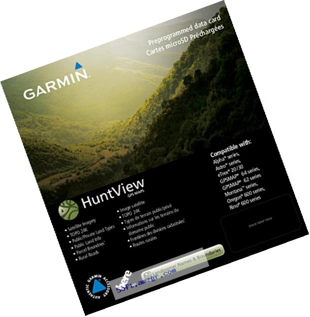
Topo 24K - digital topography equivalent to 1:24,000 scale U.S. Geological Survey maps
Landowner names - now includes landowner names for California, Georgia, Illinois, Indiana, Kentucky, Mississippi, North Carolina, Ohio, South Carolina and Virginia (sold individually)
Satellite imagery - exclusive birdseye satellite imagery
Reputable roads - turn-by-turn navigation on an extensive, routable road network that includes dirt roads and trails
Pois - searchable points of interest, including parks, summits, geographic place names, camping areas, businesses and more
Video Review Garmin 010-12606-00 Huntview Map Card - Georgia